Background
This project is a partnership between Sustaining Dunbar and Forth Rivers Trust and is being funded by a grant from the Neighbourhood Ecosystem Restoration fund which we are pleased to have been able to match with funding from the East Lammermuir Community Benefit Fund.
It is a small project but with the ambitious aim of helping to kickstart action to implement landscape scale restoration of biodiversity across the East Lammermuir area. We believe that, in the context of climate breakdown and nature emergency, landscape scale regeneration of nature is essential for local resilience and adaptation, including for reducing flood risk to downstream settlements.
Through this project we want to explore how best to develop a collaborative working relationship between local landowners, farmers, community groups and volunteers. How can we create a shared vision of what is possible and of the benefits that catchment-scale restoration could bring by mobilising and coordinating volunteer effort, knowledge and enthusiasm whilst building mutual understanding between landowners, farmers and the wider community?
East Lammermuir is currently an ecologically degraded landscape, with fragmented habitats and declining biodiversity. Between agricultural operations, along with the industry and quarrying along the coast and existing windfarms in the Lammermuirs, it is now under even more pressure from extensive new energy developments including battery energy storage, infrastructure for offshore wind, solar farm proposals and the Eastern Green Link. These are stretching the landscape’s capacity to absorb the cumulative impacts. On the plus side, there are three riparian woodland reserves managed by the Scottish Wildlife Trust and several isolated SSSIs. Significantly, there is a palpable appetite for nature restoration amongst local communities, as demonstrated by East Lammermuir’s 2024 Place Plan which highlighted biodiversity renewal as a key priority. And East Lammermuir’s Biodiversity Community Liaison Group is helping to bring community members together with energy developers.
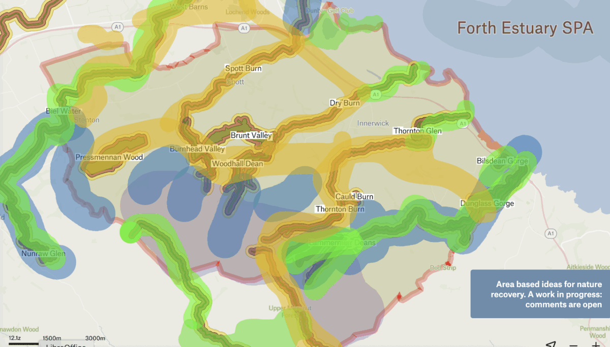
The project is focussing initially on the five main coastal burns which, whilst providing the main, current, seminatural links, are themselves constrained, with barriers to fish migration and limited room to function ecologically or hydrologically in a natural way.
Progress to date
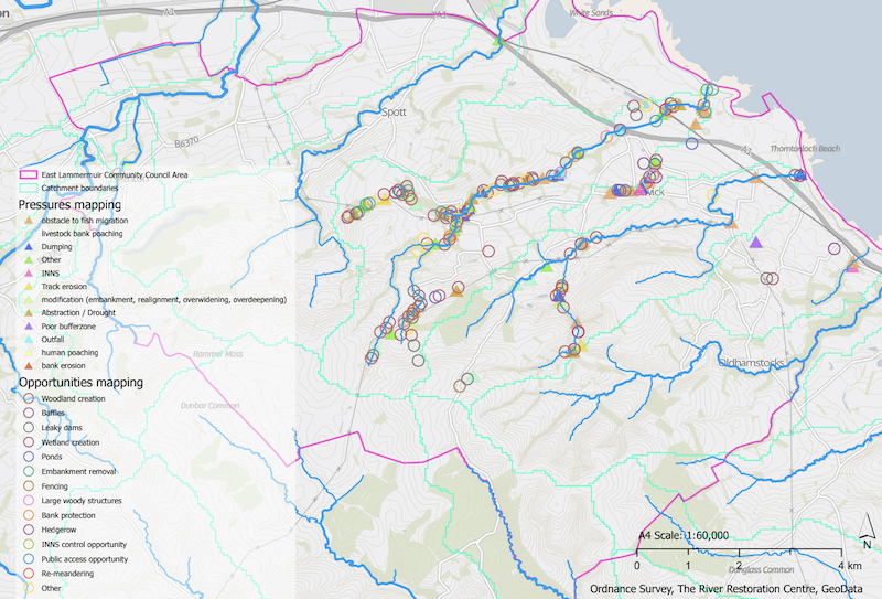
Following desktop research to collate available sources of information, we are making good progress with contacting landowners and with on-the-ground surveys of these short, coastal river catchments. These surveys are highlighting how much impact human intervention has had on these burns over the past two hundred years or more. Some of the key problems and pressures include bank modification/realignment, poor riparian buffer zones, track erosion, diffuse pollution, non-native invasive species, culverts and redundant weirs etc.. The next stage will be to assess the impacts arising and to prioritise and propose opportunities for positive enhancement projects. We are envisaging potential for planning projects such as remeandering, wetland creation, creation of leaky dams, riparian tree planting, removal of barriers to fish migration, creation of buffer woodlands etc..as well as creation of wildlife corridors across the landscape to connect currently isolated habitats.
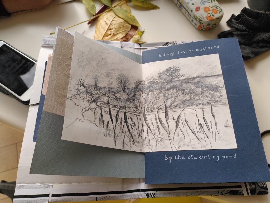
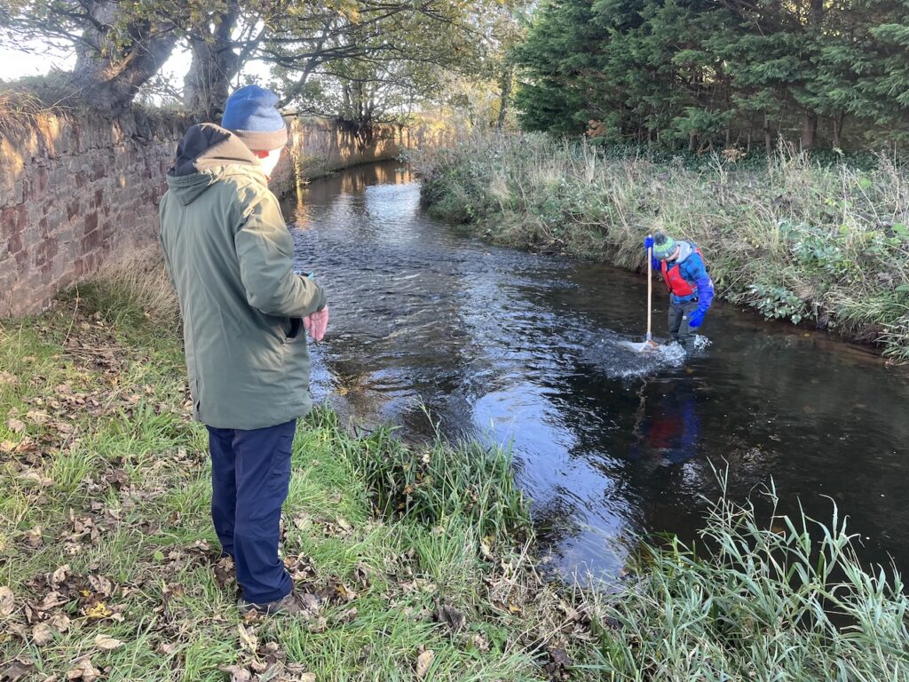
Alongside the survey work, a programme of community engagement is now underway. In addition to our meetings with landowners and village associations etc. a programme of activities with Stenton and Innerwick Primary Schools that will run through until next summer has now been started, led by Wilder Outdoor Education, and a programme of community arts workshops is finding creative ways of helping people to connect to our local burns. A programme of ‘wild river walks’ is planned for early next year alongside a series of field trips led by local experts, from geology to botany, all intended to enhance our understanding of how our local landscape has come to be the way it is today and to help us all envision how it could be, if nature is given a chance to do its thing. Our team of ten volunteer River Guardians is also carrying out regular, monthly, riverfly sampling on the Biel Water as a citizen science project for monitoring biological water quality. We hope to extend this to other catchments next year and to start monitoring for chemical water quality also.
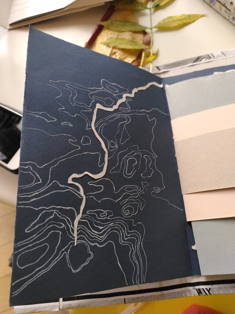
A project micro-site has been created, including this interactive map which builds on East Lothian Council’s Local Development Plan evidence and East Lammermuir Community Council’s Local Place Plan. We invite you to explore the website and comment on the map which includes some broad brush ideas and areas for local interventions and initial prescriptions, starting simple.
We have also been forging good links with the East Lothian Biodiversity collective, including their hedgerow restoration project. We are hoping that this project will soon be able to start working with East Lammermuir landowners to survey existing hedgerows and create management plans that ensure that hedgerows are managed and rejuvenated and new hedgerows planted, as necessary, in order to fulfil their potential as vital green corridors in a future biodiverse landscape.


Next steps
Once we have completed this first phase of survey and engagement work, we will be looking to create catchment-wide restoration plans with a prioritised list of key enhancement proposals which will then require further work to develop into detailed, deliverable project plans.
We are looking forward to participating in the upcoming biodiversity stakeholder workshop being organised by East Lammermuir Community Council to plan how the vision outlined in their Local Place Plan can be realised and to ensure that the ‘Biodiversity Net Gain’ (BNG) commitments required of energy developers can be used in as strategic a way as possible.
We hope to shortly establish a project advisory group to bring in a wide range of local stakeholders with relevant interests and expertise with the eventual hope that this may evolve into an East Lammermuir Catchment Partnership, along the lines pioneered by the Tweed Forum in the Scottish Borders. Please do get in touch if you are interested in finding out more: mapping@summit-to-sea.uk
